OU7 – Tributary One North
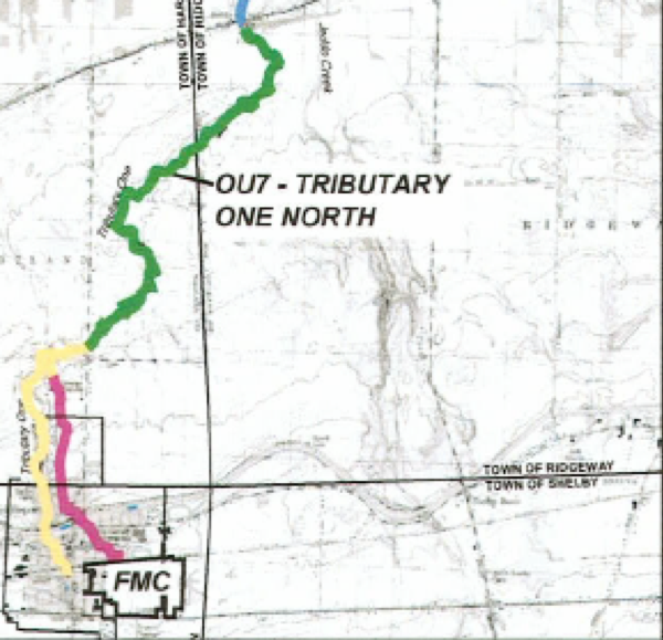
Operable Unit (OU) 7 consists of Tributary One and Flood Plain, north of Pearson Road and is identified in the green-colored area in the map below:
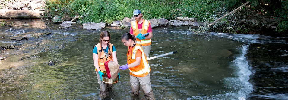
Supplemental RFI sampling was conducted in 2018 and 2019. A data report was submitted to NYSDEC on September 2019.
Current Status
- NYSDEC is reviewing the supplemental sampling data report and next steps for the RFI will be discussed with FMC.
©2023 FMC Corporation. All Rights Reserved. FMC, the FMC logo and all trademarks, service marks, logos, business names and trade names are the property of FMC Corporation and/or its affiliates or licensors in the U.S. and/or other countries.